 vesseltracker.com
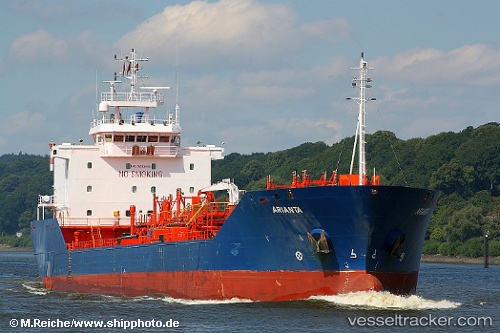
Vessel 'MONJASA RANGER' IMO: 9285445, MMSI: 636019595
UTC, 6.04726, 1.30492, course: 189, speed: 0
UTC, 6.04743, 1.30473, course: 186, speed: 0
2026-02-09 16:15:24 UTC, 6.04738, 1.30485, course: 189, speed: 0
Live AIS position:
UTC. Near Ablogamé),
updated 2026-02-09 16:15:24 UTC.
Find the position of the vessel 'MONJASA RANGER' on the map. The latter are known coordinates and path.
marine traffic ship tracker show on live map
The current position of vessel 'MONJASA RANGER' is 6.04738 lat / 1.30485 lng. Updated: 2026-02-09 16:15:24 UTCDetails:
Last coordinates of the vessel:
UTC, 6.03604, 1.27782, course: 208, speed: 0.5UTC, 6.04726, 1.30492, course: 189, speed: 0
UTC, 6.04743, 1.30473, course: 186, speed: 0
2026-02-09 16:15:24 UTC, 6.04738, 1.30485, course: 189, speed: 0